Free things to do in Castle Rock > Rock Park
Location: 1710 Front St., Castle Rock, CO
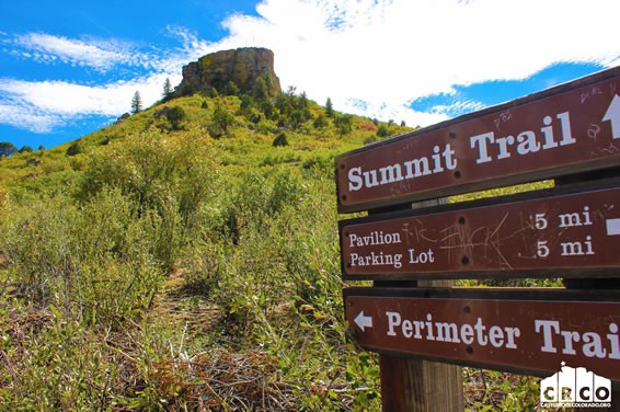
Trail Map: Click here
Description:
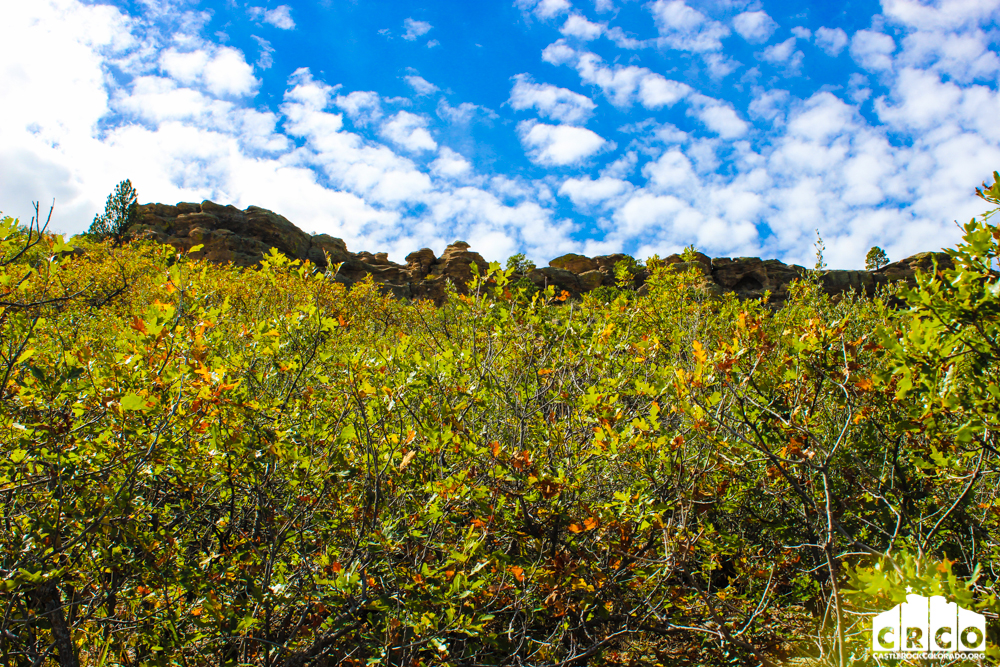
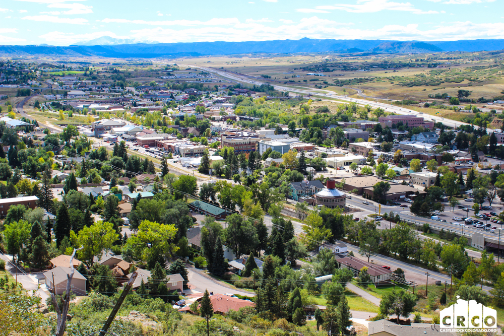
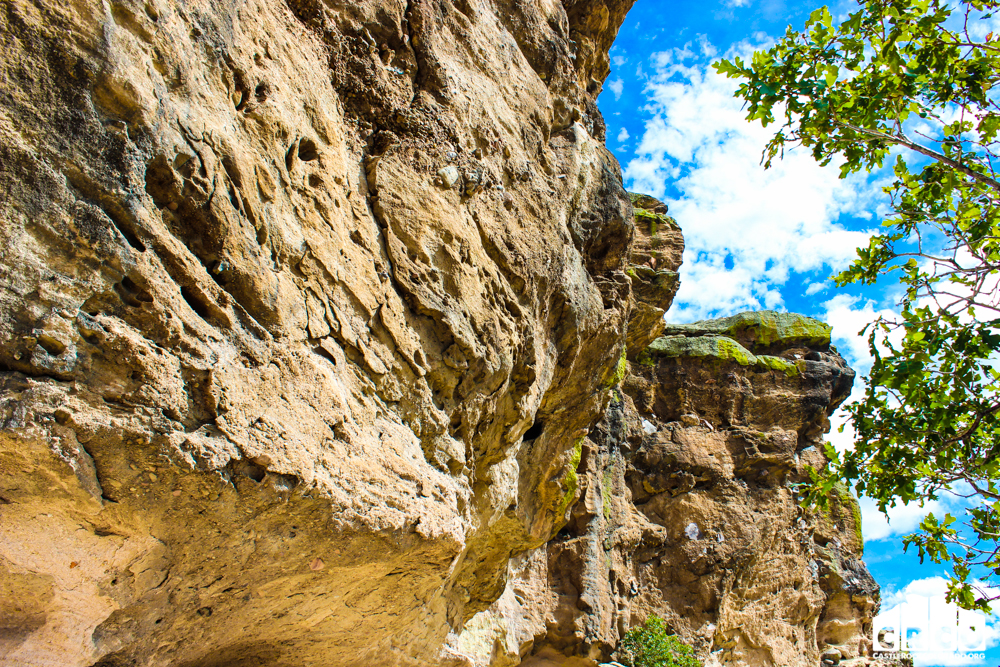
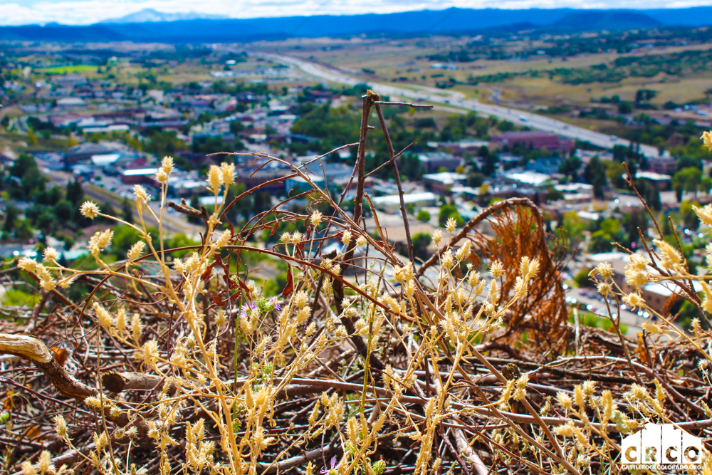
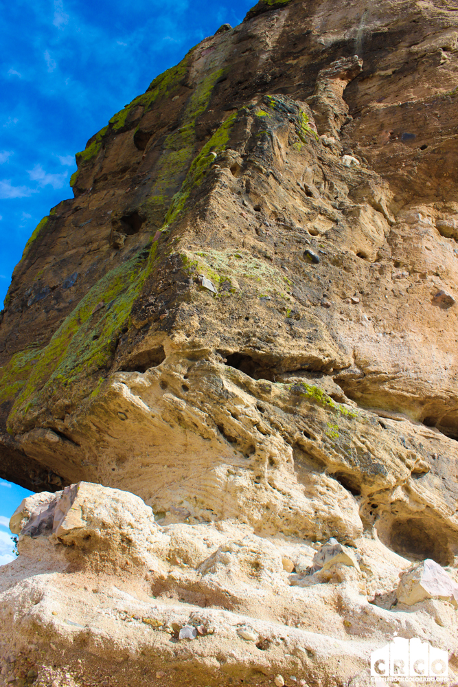
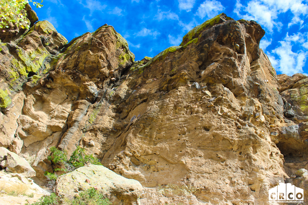
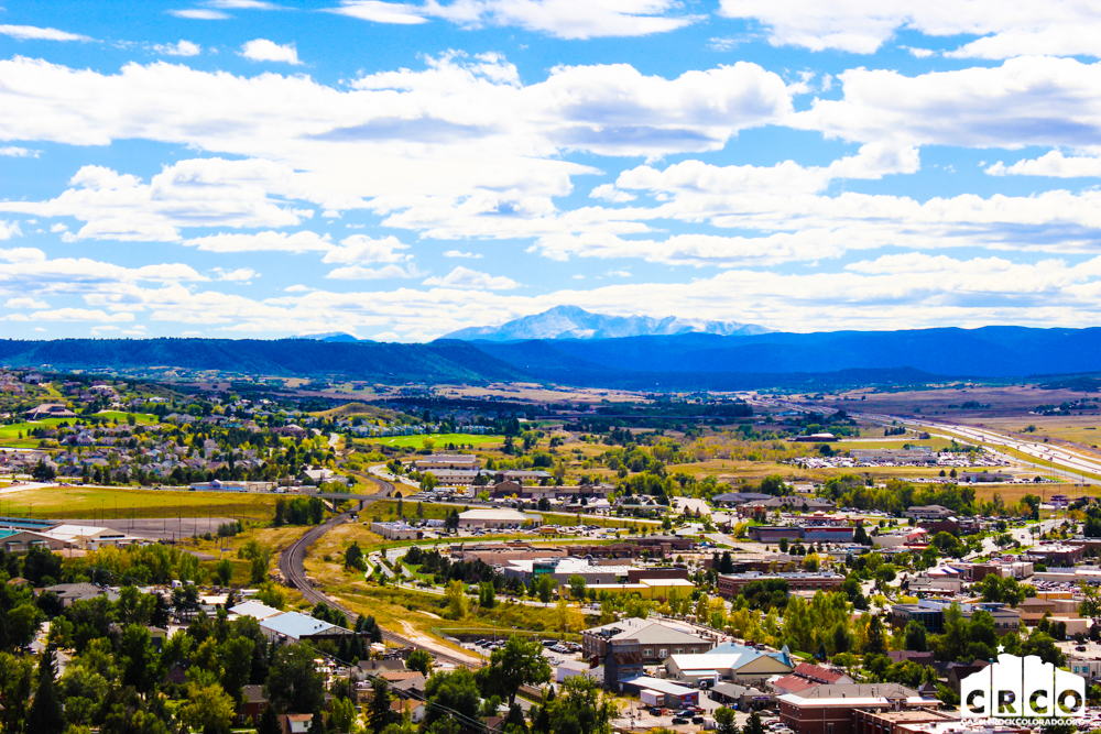
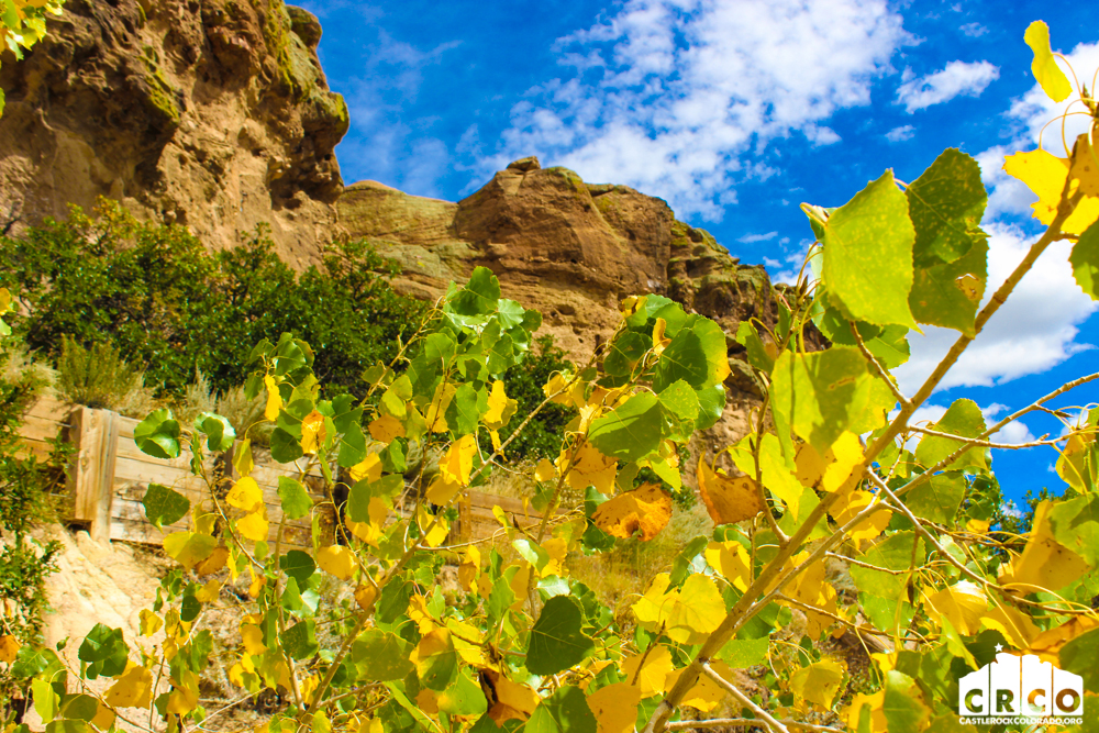
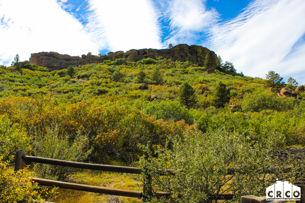
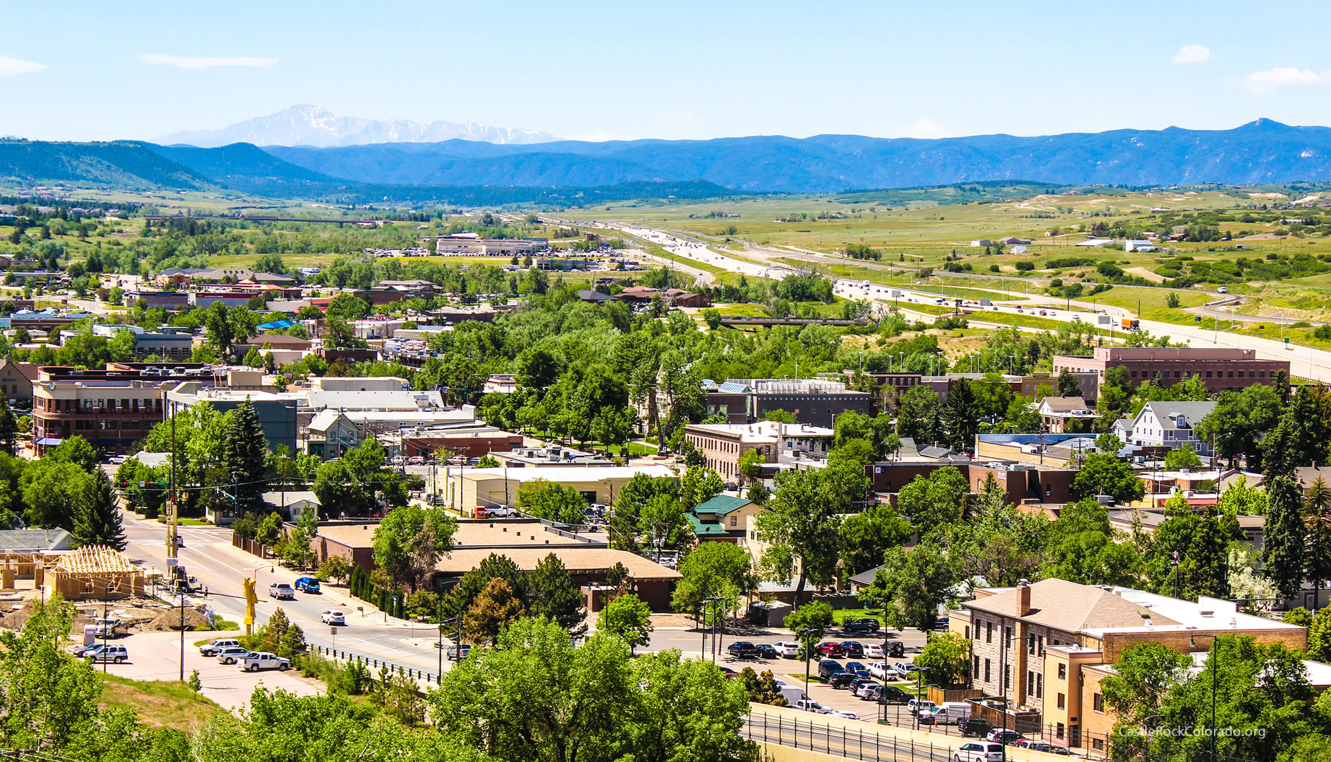
Rock Park in Castle Rock, Colorado is the trailhead for a 1.4 mile loop within a loop hike that climbs to the base of the town’s famous Castle Rock. Click here for the Castle Rock trail map.
- Hike Distance: 1.4 Miles+Spurs
- Denver Drive Time: 40
- Difficulty: Medium (can be difficult over rocks)
- Duration: 1hr+
- Activities: Hiking Trails, No bikes or horses are allowed
- Dogs: Allowed on Leash
- Directions: Click for Google Map
- Trail Type: Loop
- Seasons: All Season
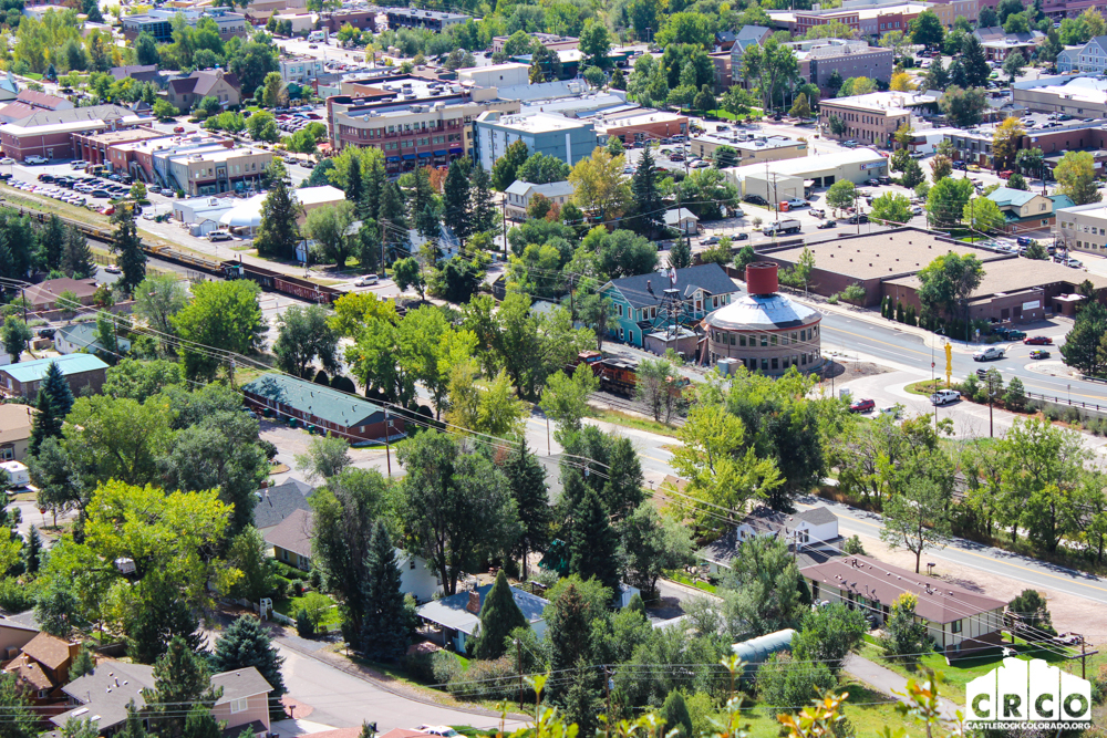
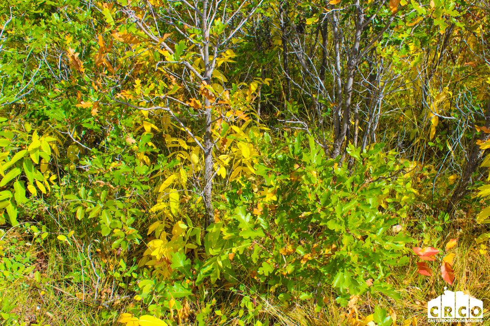
- Beauty: Historical Monument, Rock Formations, Front Range Views, Wildlife: Rock squirrels and cliff swallows
From CRGov.com
Some of the Town’s most beautiful and prominent features are its open spaces, parks and trails. The Town boasts: 5,475 acres of open space, (The Town owns nearly half. Private open space makes up 1,500 acres, and Douglas County open space makes up the rest); 19 developed parks, (about 265 acres); and 51 miles of soft-surface and paved trails, with more than 50 additional miles of trails planned. The Town is always seeking ways to increase offerings, including the new Wrangler Park and Philip S. Miller Park. Parks, open space and trails are part of the Parks and Recreation Department, which also oversees Recreation.
User Photos: